Vintage French Educational School Map Poster Morocco Africa 2008269
Couldn't load pickup availability
French School Map Poster Morocco Africa
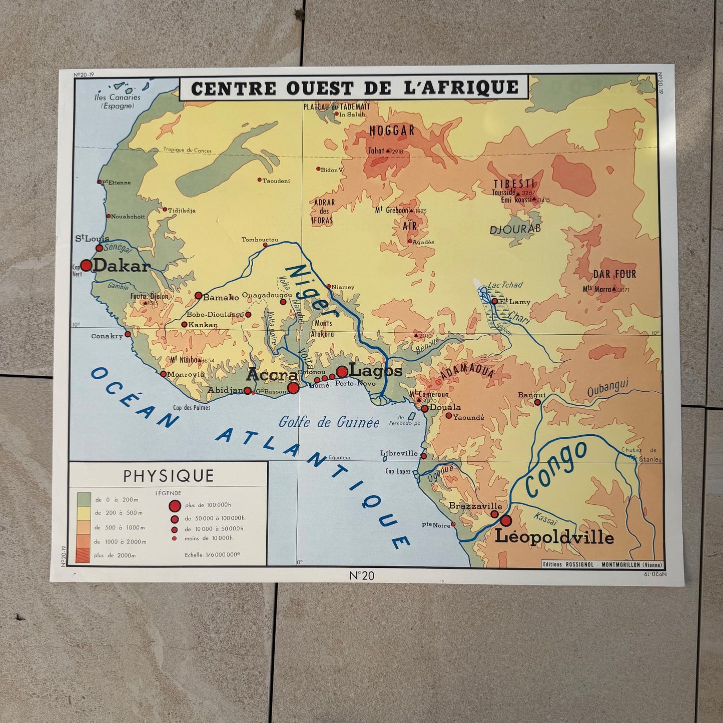
Published by Editions Rossignol of Montmorillon (Vienne), this double-sided French school map poster covers Morocco on one side and West-Central Africa on the other. A well-known French educational publisher active through much of the 20th century, Rossignol produced these wall maps for use in primary and secondary classrooms across France. This example, numbered N19 and N20, is a genuine French school map poster from the mid-20th century, printed in clear, confident cartographic style for classroom display.
The Morocco side (Maroc) is a physical and economic map at scale 1/1,200,000, showing relief in layered colour from lowland green through amber to deep orange for the Atlas ranges. Major cities including Casablanca, Rabat, Marrakech, Fes, Meknes and Tanger are marked with scaled red dots indicating population. Agricultural and mineral resources -- phosphates, lead, manganese, cobalt, olives, wheat and primeurs -- are annotated directly on the map in red text. The reverse side shows Centre Ouest de l'Afrique at scale 1/6,000,000, a physical map covering Senegal, Mali, Niger, Nigeria, Cameroon and the Congo basin, with Leopoldville (now Kinshasa) labelled, indicating the map dates to before 1966. Rivers including the Niger and Congo are traced in blue. Both sides feature a printed legend with elevation bands and population-grade city symbols.
The poster measures approximately 90cm x 75cm / 35.4" x 29.5" as stated by the seller, consistent with standard Rossignol classroom wall format. The map is printed on heavy laminated card stock. Overall condition is used, consistent with former classroom display -- minor handling wear may be present.
A useful reference piece for collectors of vintage cartography, French colonial-era ephemera, or mid-century educational material. The Leopoldville reference firmly places production between approximately 1950 and 1966, adding documentary interest to its visual appeal as a period wall map.
95% of my items are tariff-free to the US.
Share
Shipping
Shipping
Shipping time may vary depending on the destination country and the package (small/large) but it is usually 2/3 weeks.
All items are shipped from France with tracking number.