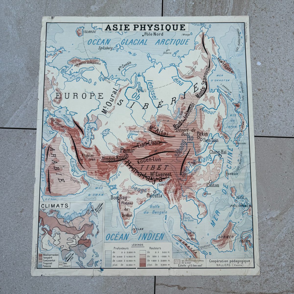
Vintage French Double-Sided School Map Asia Political Physical 11112616
Couldn't load pickup availability
vintage French school map Asia
A double-sided vintage French school map Asia poster printed for classroom use, bearing the imprint of Cooperation pedagogique, Nalliers, Vienne -- a French educational publisher whose wall charts were staples of mid-century French schoolrooms. One face presents the Asie Politique, a boldly color-coded political map showing the USSR, China, India, the Middle East and Southeast Asia as they were divided in the mid-twentieth century. Flip it over and the Asie Physique reveals a tonal relief map of the same continent, shading elevations from the Siberian plains to the Himalayan massif and noting rivers, climate insets and ocean depths.
These large-format French geographic posters were designed to be read from the back of a classroom, which gives them an inherently graphic, poster-like quality that translates effortlessly into contemporary interiors. The saturated ochre, coral and rose of the political side contrast beautifully with the warm sepia washes of the physical side. Mounted and framed, either face would hold its own in a library, a study, a child's room or a hallway with a collected, well-traveled feel. The mid-century cartography -- spelling Pekin, Nankin, Chang-hai and Tokio in the French manner -- gives it an additional layer of period charm.
Condition and patina consistent with age. Some light toning and minor edge wear are visible, as expected for a printed paper poster of this period; the colors read clearly and the overall sheet is intact.
Approx. 35.4 in wide x 29.5 in high (75 x 90 cm).
95% of my items are tariff-free to the US.
Share
Shipping
Shipping
Shipping time may vary depending on the destination country and the package (small/large) but it is usually 2/3 weeks.
All items are shipped from France with tracking number.