Vintage French Double-Sided Africa School Map Physique Politique 11112622
Couldn't load pickup availability
vintage French Africa school map
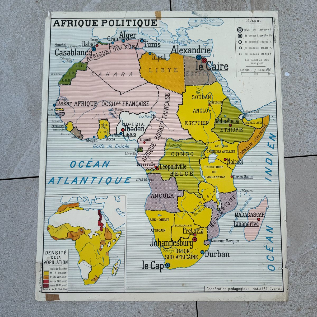
A double-sided vintage French Africa school map printed and published by Cooperation Pedagogique of Nalliers (Vienne), this large classroom poster presents two complete visions of the African continent on a single sheet. One face is devoted to Afrique Physique: a richly shaded physical geography map showing mountain ranges, desert plateaus, river systems and a climate inset in warm terracotta and buff tones. The reverse carries Afrique Politique: a boldly coloured political map drawn from the colonial era, naming territories such as Afrique Occidentale Francaise, Congo Belge, Soudan Anglo-Egyptien and Somalie Italienne, with a population density inset below. French schools used these large-format wall maps throughout the mid-twentieth century as the primary classroom visual aid for geography lessons.
The graphic quality is confident and clear, with crisp typography, well-balanced colour fields and fine blue linework tracing rivers and coastlines. The colonial-era political edition makes this a document of its time, interesting to map collectors, historians of Africa and anyone drawn to the aesthetic of French pedagogical printing. Displayed flat behind glass or pinned to a study wall, it brings both graphic warmth and genuine period character to a room. The publisher imprint Nalliers (Vienne) is printed cleanly at the foot of both sides.
Condition and patina consistent with age. Light tanning to the paper overall, with two small adhesive marks visible along the top edge, as typically seen on classroom posters that were pinned or taped over years of use.
Approx. 35.4 in wide x 29.5 in high (75 x 90 cm).
95% of my items are tariff-free to the US.
Share
Shipping
Shipping
Shipping time may vary depending on the destination country and the package (small/large) but it is usually 2/3 weeks.
All items are shipped from France with tracking number.